หาดฉางหลาง
หาดฉางหลาง
Chang Lang Beach
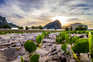
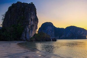
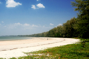
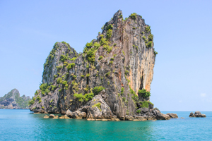
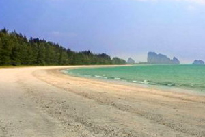
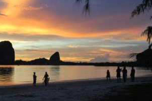
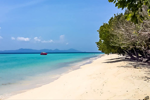
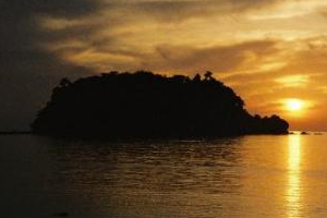
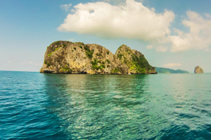
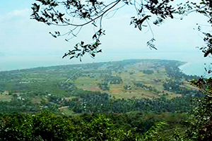
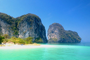
หาดฉางหลาง ชายหาดที่ทอดตัวยาวต่อเนื่องมาจากหาดปากเมง มีลักษณะหาดทรายคล้ายกันตลอดแนว มีความร่มรื่นด้วยทิวสน บรรยากาศเงียบสงบ หาดปากเมงมีหมู่บ้านชาวประมงเล็กๆ อาศัยอยู่ที่ปากคลองจุดที่คลองไหลออกทะเล และเป็นที่จอดเรือประมงของชาวบ้าน ซึ่งเป้นที่รู้จักกันดีว่า เป็นจุดที่สามารถนั่งชมพระอาทิตย์ตกติดที่สวยงาม โดยมีเรือประมงและหมู่เกาะกลางทะเลเป็นฉากประกอบ ด้านทิศใต้ของหาดจรดเขาริมน้ำ คือ เขาแบนะ ซึ่งเป็นจุดดูพะยูน และมีร่อยรอยภาพเขียนสีแดงยุคก่อน ผู้มาเยือนสามารถเดินรอบเกาะได้ พื้นที่ชายหาดตรงเชิงเขากว้างขวางและร่มรื่นด้วยพรรณไม้ และมีบ่อน้ำจืด เหมาะสำหรับการกางเต๊นท์ สุดทางเหนือของหาด คือ คลองฉางหลาง ซึ่งบริเวณปากคลองเป็นจุดชมทิวทัศน์ที่มีทัศนียภาพหลากหลาย
การเดินทาง จากตัวเมืองตรังใช้เส้นทาง ตรัง – สิเกา – ปากเมง ทางหลวงหมายเลข ๔๐๔๖ – ๔๑๖๒ ถึงสามแยกสู่ถนนเลียบหาด เลี้ยวซ้ายไปตามถนนเลียบหาดผ่านปากเมงไปประมาณ ๕ กิโลเมตร
Chang Lang Beach is a connecting beach to Pak Meng Beach , so the beach body is similar to one another with shady , common Iron wood. It is more peaceful than at Pak Meng Beach. There is a small fishing village located at the river mouth and it is also the place where the local people dock their fishing boats. It is known that the place is for a sunset view with fishing boats and islands in the sea as a background. To the South of this beach is an isle namely Khao Bae-na where is the point for watching dugong or sea cow and prehistoric wall paintings is found as well. The isle is explorable around. A beach at its hillfoot is wide with cool shades of plants and a freshwater well. It is nice for camping. At the northernmost end of the beach is Khlong Chang Lang where offers a good viewpoint.
How to go there? From Trang , take the route Trang – Sikao – Pak Meng along highway no.4046-4162 and turn left at the junction and go along the beachside road for 5 kilo – meters.









 Visit Today : 84
 Visit Yesterday : 92
 This Month : 3443
 Total Visit : 285911
 Who's Online : 5